


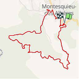

9.4 km | 12.8 km-effort

User


FREE GPS app for hiking
 SityTrail
IGN / Geographical institutes
SityTrail World
The world is yours!
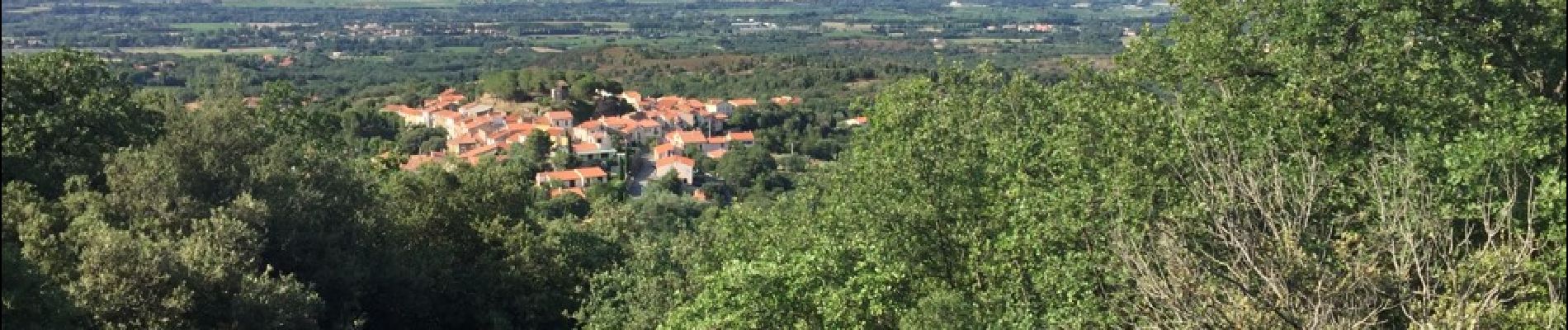
Trail Walking of 6.5 km to be discovered at Occitania, Pyrénées-Orientales, Montesquieu-des-Albères. This trail is proposed by jeff66.
MONTESQUIEU DES ALBERES 66 - Rue du mûrier grand rue - place du courreou - l'estaca - les foulards rouges - rue des ALBERES - piste DFCI AL 6 - serrat de les Bruixes - mas mimosa - chemin de l'écluse vers piste VTT Mas PERICOT - Els Tunes - piste DFCI AL 6bis - panorama sur le Canigou le boulou la plaine du Roussillon Montesquieu la cote - font de 13 vents - point d'eau DFCI 334 - départ itinéraire pic Sant Cristau - font Rovellade - Sentier botanique


Walking

Walking

Walking

Walking

Walking

Walking

Walking
Walking
Walking