


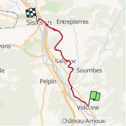

14.5 km | 21 km-effort


User


FREE GPS app for hiking
 SityTrail
IGN / Geographical institutes
SityTrail World
The world is yours!
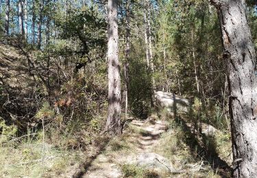
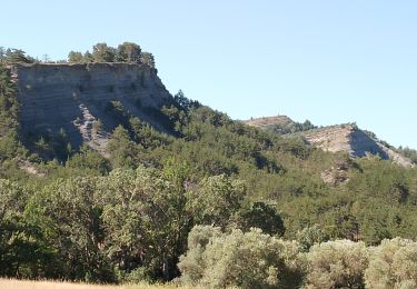
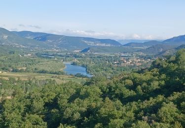
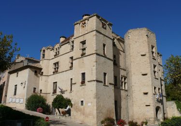
Trail Other activity of 18.3 km to be discovered at Provence-Alpes-Côte d'Azur, Alpes-de-Haute-Provence, Volonne. This trail is proposed by midu59.
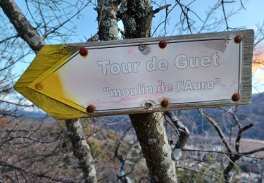
Itinéraire balisé. Beaucoup de macadam
Walking

Running
Walking
Walking
Walking
Walking

Walking
Walking
On foot
super pour les randonnées pédestres