Trail Walking Lucéram - Col St Roch boucle - Photo
 Renefrt
Renefrt

User

© OpenStreetMap contributors
Length
Length
8.3 km
Max alt
Max alt
1029 m
Uphill gradient
Uphill gradient
344 m
Km-Effort
Km-Effort  
12.9 km
Min alt
Min alt
771 m
Downhill gradient
Downhill gradient
349 m
Boucle
Boucle
Yes
Creation date :
2025-04-24 07:02:43.0
Updated on :
2025-04-24 15:01:12.152

(0 Reviews)

Walking
Walking
4h41
Difficulty : Difficult

Scan this QR Code to open this trail in the SityTrail application

FREE GPS app for hiking

Logo SityTrail SityTrail

IGN / Geographical institutes

Download SityTrail from the App Store Download SityTrail from Google Play

Logo SityTrail SityTrail Plus

The world is yours!

Download SityTrail from the App Store Download SityTrail from Google Play Download SityTrail on Huawei AppGallery

About

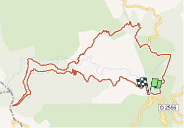
Trail Walking of 8.3 km to be discovered at Provence-Alpes-Côte d'Azur, Maritime Alps, Lucéram. This trail is proposed by Renefrt.

Description

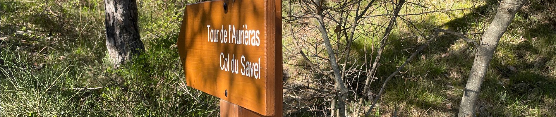
Montée un peut difficile après le passage de la rivière du Panaflé.

Puis prendre la direction de la balise 188 et la route au lieu du sentier qui retourne aux voitures car assez technique et dangereux. La route moins agréable mais pas beaucoup de distance pour retourner au parking.

Elevation profile

Photos

Positioning

Country:
France
Region :
Provence-Alpes-Côte d'Azur
Department/Province :
Maritime Alps
Municipality :
Lucéram
Location:
Unknown
Start:(UTM)
366516 ; 4861668 (32T) N.


Close
My subscriptions