


2015-GranParadiso Jour4

i20
User
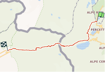

Length
11.7 km

Max alt
3001 m

Uphill gradient
730 m
Km-Effort
23 km

Min alt
2056 m

Downhill gradient
1279 m
Boucle
No
Creation date :
2015-07-10 00:00:00.0
Updated on :
2015-07-10 00:00:00.0
4h25
Difficulty : Unknown

FREE GPS app for hiking
 SityTrail
IGN / Geographical institutes
SityTrail Plus
The world is yours!
About
Trail Walking of 11.7 km to be discovered at Aosta Valley, Unknown, Valsavarenche. This trail is proposed by i20.
Description
Refuge Chivasso (2604m) - Col de la Galise (2987m) ou de la Lose (2957m) - Refuge du Prariond - Pont St Charles (2056m - Val d'Isère)
Positioning
Country:
Italy
Region :
Aosta Valley
Department/Province :
Unknown
Municipality :
Valsavarenche
Location:
Unknown
Start:(Dec)
Start:(UTM)
354857 ; 5037927 (32T) N.
Comments