


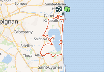
2025-04-29 tour de l'Etang de Canet en Rousillon

Lucquiaud
User

Length
35 km

Max alt
21 m

Uphill gradient
142 m
Km-Effort
37 km

Min alt
-3 m

Downhill gradient
143 m
Boucle
Yes
Creation date :
2025-04-29 07:22:02.186
Updated on :
2025-05-03 08:35:08.689
2h34
Difficulty : Difficult

FREE GPS app for hiking
 SityTrail
IGN / Geographical institutes
SityTrail Plus
The world is yours!
About
Trail Mountain bike of 35 km to be discovered at Occitania, Pyrénées-Orientales, Canet-en-Roussillon. This trail is proposed by Lucquiaud.
Positioning
Country:
France
Region :
Occitania
Department/Province :
Pyrénées-Orientales
Municipality :
Canet-en-Roussillon
Location:
Unknown
Start:(Dec)
Start:(UTM)
502906 ; 4728423 (31T) N.
Comments