


Rimbach - lacs Neuweiher et des Perches par la Tête des Perches

Bart2015
User
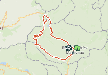

Length
15.8 km

Max alt
1216 m

Uphill gradient
775 m
Km-Effort
26 km

Min alt
556 m

Downhill gradient
776 m
Boucle
Yes
Creation date :
2025-04-30 10:49:44.624
Updated on :
2025-05-06 06:00:12.42
5h56
Difficulty : Very difficult

FREE GPS app for hiking
 SityTrail
IGN / Geographical institutes
SityTrail Plus
The world is yours!
About
Trail Walking of 15.8 km to be discovered at Grand Est, Haut-Rhin, Rimbach-près-Masevaux. This trail is proposed by Bart2015.
Description
Magnifique randonnée avec des vues plongeantes ....
Bonne rando, soyez prudents ...
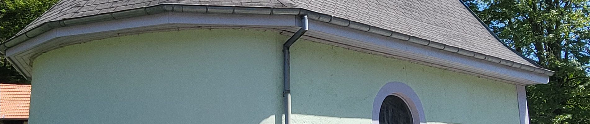
Photos


Positioning
Country:
France
Region :
Grand Est
Department/Province :
Haut-Rhin
Municipality :
Rimbach-près-Masevaux
Location:
Unknown
Start:(Dec)
Start:(UTM)
346575 ; 5298798 (32T) N.
Comments