


Port de Teich-Port de Biganos

swp648
User
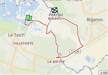

Length
6.8 km

Max alt
15 m

Uphill gradient
45 m
Km-Effort
7.4 km

Min alt
0 m

Downhill gradient
40 m
Boucle
No
Creation date :
2025-05-10 08:20:15.221
Updated on :
2025-05-12 07:43:32.692
1h29
Difficulty : Very easy

FREE GPS app for hiking
 SityTrail
IGN / Geographical institutes
SityTrail Plus
The world is yours!
About
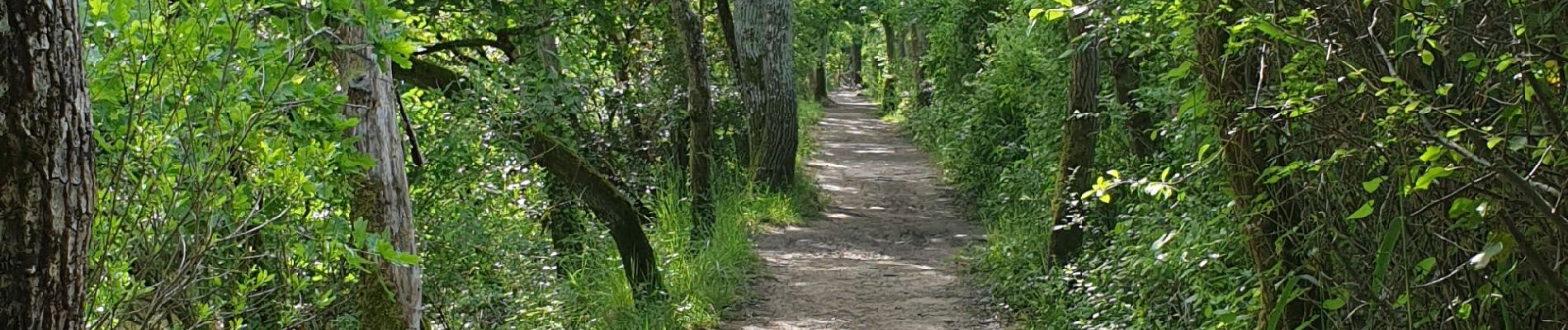
Trail Walking of 6.8 km to be discovered at New Aquitaine, Gironde, Le Teich. This trail is proposed by swp648.
Photos


Positioning
Country:
France
Region :
New Aquitaine
Department/Province :
Gironde
Municipality :
Le Teich
Location:
Unknown
Start:(Dec)
Start:(UTM)
657286 ; 4944861 (30T) N.
Comments