


Le Platary - Trieves

JYDel
User
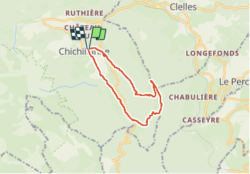

Length
11.9 km

Max alt
1577 m

Uphill gradient
639 m
Km-Effort
20 km

Min alt
964 m

Downhill gradient
636 m
Boucle
Yes
Creation date :
2025-05-15 06:59:37.922
Updated on :
2025-05-15 13:46:19.639
6h45
Difficulty : Medium

FREE GPS app for hiking
 SityTrail
IGN / Geographical institutes
SityTrail Plus
The world is yours!
About
Trail Walking of 11.9 km to be discovered at Auvergne-Rhône-Alpes, Isère, Chichilianne. This trail is proposed by JYDel.
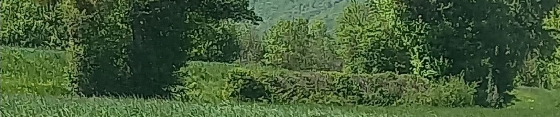
Photos


Positioning
Country:
France
Region :
Auvergne-Rhône-Alpes
Department/Province :
Isère
Municipality :
Chichilianne
Location:
Unknown
Start:(Dec)
Start:(UTM)
703701 ; 4965327 (31T) N.
Comments