


20250522 Prats Balaguer

ThonyM
User
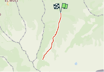

Length
12.2 km

Max alt
2256 m

Uphill gradient
610 m
Km-Effort
20 km

Min alt
1641 m

Downhill gradient
608 m
Boucle
Yes
Creation date :
2025-05-22 07:10:07.0
Updated on :
2025-05-22 12:50:04.721

FREE GPS app for hiking
 SityTrail
IGN / Geographical institutes
SityTrail Plus
The world is yours!
About
Trail of 12.2 km to be discovered at Occitania, Pyrénées-Orientales, Fontpédrouse. This trail is proposed by ThonyM.
Photos


Positioning
Country:
France
Region :
Occitania
Department/Province :
Pyrénées-Orientales
Municipality :
Fontpédrouse
Location:
Unknown
Start:(Dec)
Start:(UTM)
432677 ; 4703182 (31T) N.
Comments