


balisage 8km Géroise 2025

LouisROGER
User GUIDE
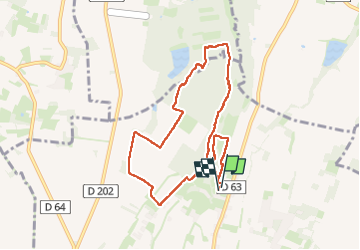

Length
8.7 km

Max alt
396 m

Uphill gradient
96 m
Km-Effort
10 km

Min alt
353 m

Downhill gradient
95 m
Boucle
Yes
Creation date :
2025-05-28 06:32:40.556
Updated on :
2025-05-28 09:14:50.469
2h41
Difficulty : Medium

FREE GPS app for hiking
 SityTrail
IGN / Geographical institutes
SityTrail Plus
The world is yours!
About
Trail Walking of 8.7 km to be discovered at New Aquitaine, Pyrénées-Atlantiques, Ger. This trail is proposed by LouisROGER.
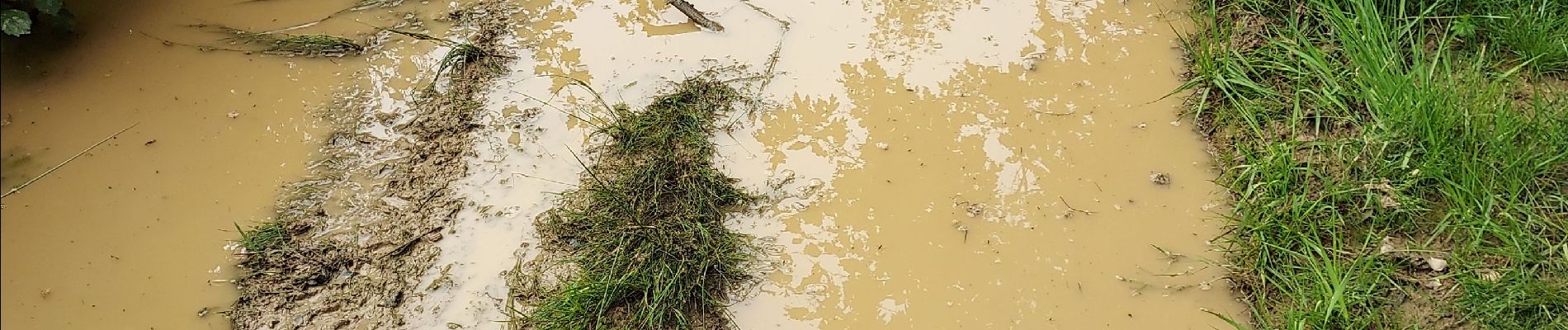
Photos


Positioning
Country:
France
Region :
New Aquitaine
Department/Province :
Pyrénées-Atlantiques
Municipality :
Ger
Location:
Unknown
Start:(Dec)
Start:(UTM)
739602 ; 4795393 (30T) N.
Comments