


Bedoin

FLORENSAC
User
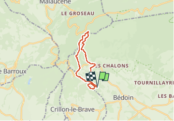

Length
11.3 km

Max alt
649 m

Uphill gradient
424 m
Km-Effort
16.9 km

Min alt
291 m

Downhill gradient
424 m
Boucle
Yes
Creation date :
2025-05-28 07:18:00.589
Updated on :
2025-05-28 12:37:54.822
5h19
Difficulty : Difficult

FREE GPS app for hiking
 SityTrail
IGN / Geographical institutes
SityTrail Plus
The world is yours!
About
Trail Walking of 11.3 km to be discovered at Provence-Alpes-Côte d'Azur, Vaucluse, Bédoin. This trail is proposed by FLORENSAC.
Description
une belle boucle un peu sportive
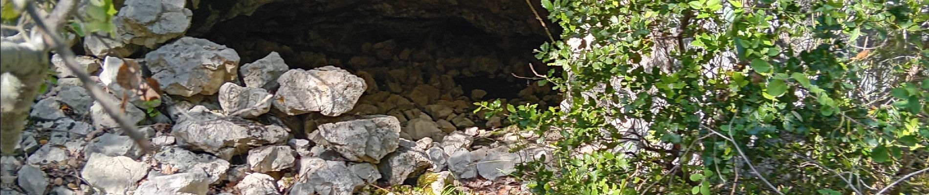
combe obscure
le gros pata
les carrieres d ocres
etc....
Photos


Positioning
Country:
France
Region :
Provence-Alpes-Côte d'Azur
Department/Province :
Vaucluse
Municipality :
Bédoin
Location:
Unknown
Start:(Dec)
Start:(UTM)
672987 ; 4888503 (31T) N.
Comments