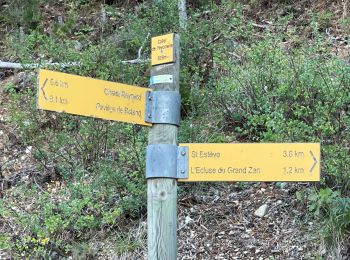
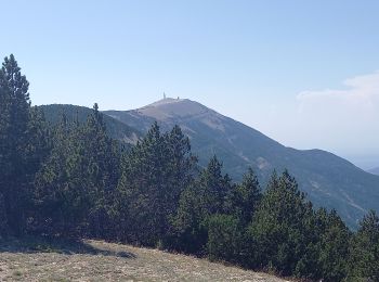
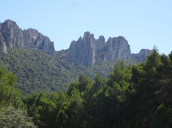
Bédoin, Vaucluse: Best trails, routes and walks

29 comments

Bédoin: Discover the best trails: 261 hiking trails, 114 bike and mountain-bike routes and 3 equestrian circuits. All these trails, routes and outdoor activities are available in our SityTrail applications for smartphones and tablets.


The best trails (397)
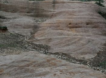
Trail Walking Bédoin - DEMOISELLES COIFFEES  A BEDOIN - Photo
Walking 18.822
Km

Walking

Medium
(1)
Bédoin, Provence-Alpes-Côte d'Azur, Vaucluse, France
18.8 km | 25 km-effort
6h 1min
468 m
471 m
Yes
FLORENSAC

Trail Walking Bédoin - Le Mont Ventoux en randonnée par Saint Colombe - Photo
Walking 23.622
Km

Walking

Difficult
(1)
Bédoin, Provence-Alpes-Côte d'Azur, Vaucluse, France
24 km | 44 km-effort
6h 49min
1498 m
1499 m
Yes
tracegps

Trail Walking Bédoin - Sud Ventoux et Combe de Curnier  - Photo
Walking 15.984
Km
GUIDE

Walking

Difficult
Bédoin, Provence-Alpes-Côte d'Azur, Vaucluse, France
16 km | 29 km-effort
6h 28min
941 m
942 m
Yes
nadinebondoux

Trail Walking Bédoin - Mont Ventoux GR 4-9 - Photo
Walking 19.171
Km

Walking

Medium
(1)
Bédoin, Provence-Alpes-Côte d'Azur, Vaucluse, France
19.2 km | 30 km-effort
5h 43min
805 m
800 m
Yes
Dany79

Trail Walking Bédoin - P.Partie Ventoux sud - Photo
Walking 19.348
Km

Walking

Difficult
(1)
Bédoin, Provence-Alpes-Côte d'Azur, Vaucluse, France
19.3 km | 35 km-effort
5h 49min
1207 m
1212 m
Yes
MarcLEBARON

• Boucle

Trail Walking Bédoin - Bedoin Le Gros Pata - Photo
Walking 13.724
Km

Walking

Medium
(1)
Bédoin, Provence-Alpes-Côte d'Azur, Vaucluse, France
13.7 km | 19.6 km-effort
4h 6min
440 m
439 m
Yes
alainbarrot

Trail Mountain bike Bédoin - Frache, crête de la Tune et Ventouret - Photo
Mountain bike 29.364
Km

Mountain bike

Difficult
Bédoin, Provence-Alpes-Côte d'Azur, Vaucluse, France
29 km | 43 km-effort
2h 25min
1013 m
1001 m
Yes
supercolas

Trail Walking Bédoin - Baume du Chat final par les Siarres - Photo
Walking 8.32
Km

Walking

Medium
Bédoin, Provence-Alpes-Côte d'Azur, Vaucluse, France
8.3 km | 15.6 km-effort
2h 27min
547 m
553 m
Yes
supercolas

Trail Mountain bike Bédoin - Randuro sous les sapins blancs - Photo
Mountain bike 40.752
Km

Mountain bike

Difficult
Bédoin, Provence-Alpes-Côte d'Azur, Vaucluse, France
41 km | 57 km-effort
3h 5min
955 m
1861 m
No
supercolas

Trail Walking Bédoin - Sur les Traces du Père Noël 🎅  - Photo
Walking 3.916
Km

Walking

Easy
Bédoin, Provence-Alpes-Côte d'Azur, Vaucluse, France
3.9 km | 6 km-effort
1h 21min
154 m
160 m
Yes
supercolas

Trail Mountain bike Bédoin - Enduro Lilou Collet de Robin - Photo
Mountain bike 22.663
Km

Mountain bike

Medium
Bédoin, Provence-Alpes-Côte d'Azur, Vaucluse, France
23 km | 29 km-effort
2h 1min
189 m
1389 m
No
supercolas

Trail Walking Bédoin - Mont Ventoux Jas des Peĺerins - Photo
Walking 10.772
Km

Walking

Difficult
Bédoin, Provence-Alpes-Côte d'Azur, Vaucluse, France
10.8 km | 14.1 km-effort
3h 12min
250 m
249 m
Yes
Manoune

Trail Mountain bike Bédoin - Enduro les Pins Noirs - Photo
Mountain bike 36.59
Km

Mountain bike

Difficult
Bédoin, Provence-Alpes-Côte d'Azur, Vaucluse, France
37 km | 49 km-effort
2h 55min
647 m
1809 m
No
supercolas

Trail Walking Bédoin - Mont ventoux  - Photo
Walking 10.35
Km

Walking

Difficult
Bédoin, Provence-Alpes-Côte d'Azur, Vaucluse, France
10.3 km | 16.7 km-effort
3h 9min
475 m
475 m
Yes
janussity

Trail Mountain bike Bédoin - Enduro ventoux Jas de Roubin - Photo
Mountain bike 22.801
Km

Mountain bike

Medium
Bédoin, Provence-Alpes-Côte d'Azur, Vaucluse, France
23 km | 30 km-effort
2h 3min
228 m
1401 m
No
supercolas

Trail Walking Bédoin - Les Glacières du Facteur  - Photo
Walking 13.17
Km

Walking

Very difficult
Bédoin, Provence-Alpes-Côte d'Azur, Vaucluse, France
13.2 km | 21 km-effort
4h 43min
569 m
569 m
Yes
supercolas

Trail Walking Bédoin - sentier du Vertige - Photo
Walking 7.356
Km

Walking

Difficult
Bédoin, Provence-Alpes-Côte d'Azur, Vaucluse, France
7.4 km | 12.3 km-effort
2h 54min
370 m
369 m
Yes
supercolas

Trail Walking Bédoin - Le Mont Ventoux depuis Bédoin  - Photo
Walking 22.889
Km

Walking

Difficult
Bédoin, Provence-Alpes-Côte d'Azur, Vaucluse, France
23 km | 38 km-effort
5h 58min
1161 m
1163 m
Yes
ETMU5496

Trail Walking Bédoin - Crêtes du Ventoux au départ du Chalet Reynard  - Photo
Walking 19.95
Km
GUIDE

Walking

Difficult
Bédoin, Provence-Alpes-Côte d'Azur, Vaucluse, France
19.9 km | 32 km-effort
6h 36min
911 m
911 m
Yes
nadinebondoux

Trail Mountain bike Bédoin - Tour des dentelles depuis Bédoin  VTT AE - Photo
Mountain bike 49.753
Km

Mountain bike

Very difficult
(1)
Bédoin, Provence-Alpes-Côte d'Azur, Vaucluse, France
50 km | 64 km-effort
4h 0min
1057 m
1059 m
Yes
julu

20 trails displayed on 397

FREE GPS app for hiking

Logo SityTrail SityTrail

IGN / Geographical institutes

Download SityTrail from the App Store Download SityTrail from Google Play

Logo SityTrail SityTrail World

The world is yours!

Download SityTrail from the App Store Download SityTrail from Google Play Download SityTrail on Huawei AppGallery

Activities

Close
My subscriptions