Trail Walking Pollestres - POLLESTRES 66 - rando a travers champs prairies et vignes - CANOHES - NYLS - Photo

POLLESTRES 66 - rando a travers champs prairies et vignes - CANOHES - NYLS

 jeff66
jeff66

User

© OpenStreetMap contributors
Length
Length
10.4 km
Max alt
Max alt
101 m
Uphill gradient
Uphill gradient
98 m
Km-Effort
Km-Effort  
11.7 km
Min alt
Min alt
51 m
Downhill gradient
Downhill gradient
99 m
Boucle
Boucle
Yes
Creation date :
2015-07-20 00:00:00.0
Updated on :
2015-07-20 00:00:00.0

(0 Reviews)

Walking
Walking
1h55
Difficulty : Medium

Scan this QR Code to open this trail in the SityTrail application

FREE GPS app for hiking

Logo SityTrail SityTrail

IGN / Geographical institutes

Download SityTrail from the App Store Download SityTrail from Google Play

Logo SityTrail SityTrail Plus

The world is yours!

Download SityTrail from the App Store Download SityTrail from Google Play Download SityTrail on Huawei AppGallery

About

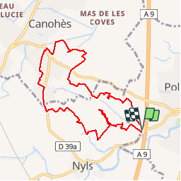
Trail Walking of 10.4 km to be discovered at Occitania, Pyrénées-Orientales, Pollestres. This trail is proposed by jeff66.

Description

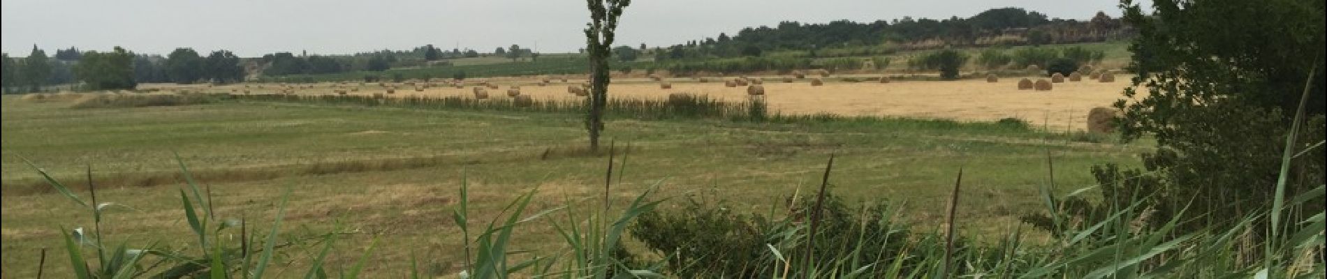
POLLESTRES 66 - Parking le long de la D23a après le pont sur A9 - relais télécom - centre équestre - Estany de Nyls - ferme d'élevage avicole - CANOHES - les clotes - traversée D39 - Agulla Del Rentador - D39 - hcxcontourner le cimetière - chemin de la Ribe petite - quartier résidentiel - Caraig - prendre D39a direction Nyls - la Soleilade - circuit pédestre du mas Bécha - Nyls - correc de Negabous - cimetière - centre équestre - retour par D23a

Elevation profile

Photos

Positioning

Country:
France
Region :
Occitania
Department/Province :
Pyrénées-Orientales
Municipality :
Pollestres
Location:
Unknown
Start:(UTM)
488498 ; 4720205 (31T) N.


Close
My subscriptions