


13-st_antonin_bayon_8km330m

SyMA
User


Length
7.7 km

Max alt
583 m

Uphill gradient
332 m
Km-Effort
12.1 km

Min alt
306 m

Downhill gradient
332 m
Boucle
Yes
Creation date :
2025-05-30 06:33:33.206
Updated on :
2025-06-04 09:40:36.386
3h34
Difficulty : Medium

FREE GPS app for hiking
 SityTrail
IGN / Geographical institutes
SityTrail Plus
The world is yours!
About
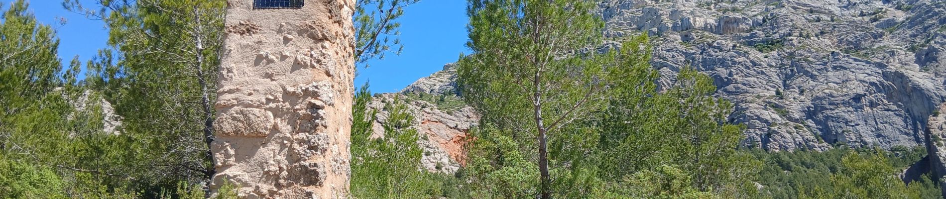
Trail Walking of 7.7 km to be discovered at Provence-Alpes-Côte d'Azur, Bouches-du-Rhône, Saint-Antonin-sur-Bayon. This trail is proposed by SyMA.
Photos


Positioning
Country:
France
Region :
Provence-Alpes-Côte d'Azur
Department/Province :
Bouches-du-Rhône
Municipality :
Saint-Antonin-sur-Bayon
Location:
Unknown
Start:(Dec)
Start:(UTM)
707288 ; 4822182 (31T) N.
Comments