


dernier acte

nicolasdresse
User
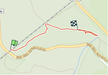

Length
350 m

Max alt
1190 m

Uphill gradient
21 m
Km-Effort
566 m

Min alt
1160 m

Downhill gradient
2 m
Boucle
Yes
Creation date :
2025-06-08 14:57:48.0
Updated on :
2025-06-08 15:21:40.5
23m
Difficulty : Easy

FREE GPS app for hiking
 SityTrail
IGN / Geographical institutes
SityTrail Plus
The world is yours!
About
Trail Walking of 350 m to be discovered at Grand Est, Haut-Rhin, Wildenstein. This trail is proposed by nicolasdresse.
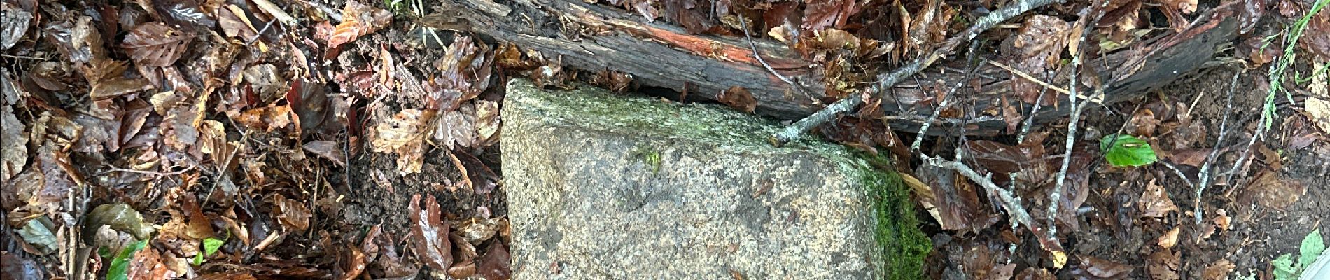
Photos


Positioning
Country:
France
Region :
Grand Est
Department/Province :
Haut-Rhin
Municipality :
Wildenstein
Location:
Unknown
Start:(Dec)
Start:(UTM)
348734 ; 5319120 (32U) N.
Comments