


RS1 Lucgarier H4 Reconnue

LouisROGER
User GUIDE
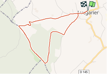

Length
4.9 km

Max alt
428 m

Uphill gradient
114 m
Km-Effort
6.4 km

Min alt
314 m

Downhill gradient
114 m
Boucle
Yes
Creation date :
2025-06-08 15:11:22.942
Updated on :
2025-06-08 15:52:43.99
41m
Difficulty : Easy

FREE GPS app for hiking
 SityTrail
IGN / Geographical institutes
SityTrail Plus
The world is yours!
About
Trail Bicycle tourism of 4.9 km to be discovered at New Aquitaine, Pyrénées-Atlantiques, Lucgarier. This trail is proposed by LouisROGER.
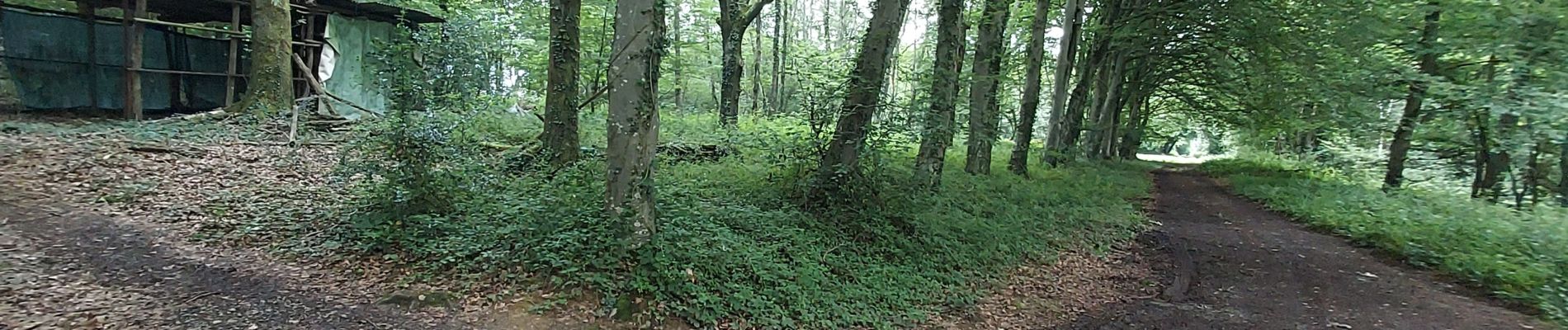
Photos


Positioning
Country:
France
Region :
New Aquitaine
Department/Province :
Pyrénées-Atlantiques
Municipality :
Lucgarier
Location:
Unknown
Start:(Dec)
Start:(UTM)
727997 ; 4790938 (30T) N.
Comments