


Trèbes

Land Willys
User

Length
488 km

Max alt
994 m

Uphill gradient
6555 m
Km-Effort
575 km

Min alt
0 m

Downhill gradient
6552 m
Boucle
No
Creation date :
2025-06-07 04:28:41.766
Updated on :
2025-06-08 16:08:18.839
35h36
Difficulty : Medium

FREE GPS app for hiking
 SityTrail
IGN / Geographical institutes
SityTrail Plus
The world is yours!
About
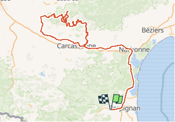
Trail Car of 488 km to be discovered at Occitania, Pyrénées-Orientales, Saint-Féliu-d'Avall. This trail is proposed by Land Willys.
Positioning
Country:
France
Region :
Occitania
Department/Province :
Pyrénées-Orientales
Municipality :
Saint-Féliu-d'Avall
Location:
Unknown
Start:(Dec)
Start:(UTM)
479037 ; 4725530 (31T) N.
Comments