


Montalivet

GG29
User
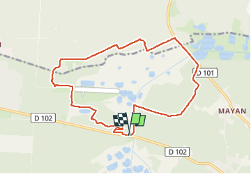

Length
9.4 km

Max alt
13 m

Uphill gradient
47 m
Km-Effort
10 km

Min alt
0 m

Downhill gradient
50 m
Boucle
Yes
Creation date :
2025-06-10 12:01:51.167
Updated on :
2025-06-10 14:41:47.667
2h39
Difficulty : Medium

FREE GPS app for hiking
 SityTrail
IGN / Geographical institutes
SityTrail Plus
The world is yours!
About
Trail Walking of 9.4 km to be discovered at New Aquitaine, Gironde, Vendays-Montalivet. This trail is proposed by GG29.
Positioning
Country:
France
Region :
New Aquitaine
Department/Province :
Gironde
Municipality :
Vendays-Montalivet
Location:
Unknown
Start:(Dec)
Start:(UTM)
648049 ; 5026012 (30T) N.
Comments