


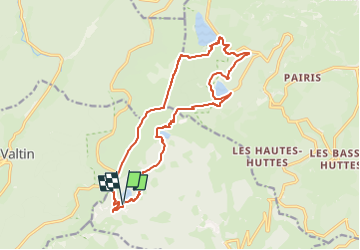
les 4 lac au départ du lac vert

gerard70
User


6h18
Difficulty : Difficult

FREE GPS app for hiking
 SityTrail
IGN / Geographical institutes
SityTrail Plus
The world is yours!
About
Trail On foot of 16.7 km to be discovered at Grand Est, Haut-Rhin, Soultzeren. This trail is proposed by gerard70.
Description
Randonnée dans les Vosges alsaciennes au départ du lac Vert,prendre la direction de lac des Truites ,lac Noir,et le lac Blanc .Retour par le Gazon Faing pour rejoindre notre point de départ
effort 4/5 cottation FFR
Photos

Positioning
Comments