


La Jeraz - Vallée des Avals

Bernard 74210
User
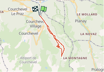

Length
11.5 km

Max alt
1800 m

Uphill gradient
671 m
Km-Effort
20 km

Min alt
1169 m

Downhill gradient
671 m
Boucle
Yes
Creation date :
2025-06-16 07:53:01.0
Updated on :
2025-06-16 13:22:15.429
4h44
Difficulty : Very difficult

FREE GPS app for hiking
 SityTrail
IGN / Geographical institutes
SityTrail Plus
The world is yours!
About
Trail Walking of 11.5 km to be discovered at Auvergne-Rhône-Alpes, Savoy, Courchevel. This trail is proposed by Bernard 74210.
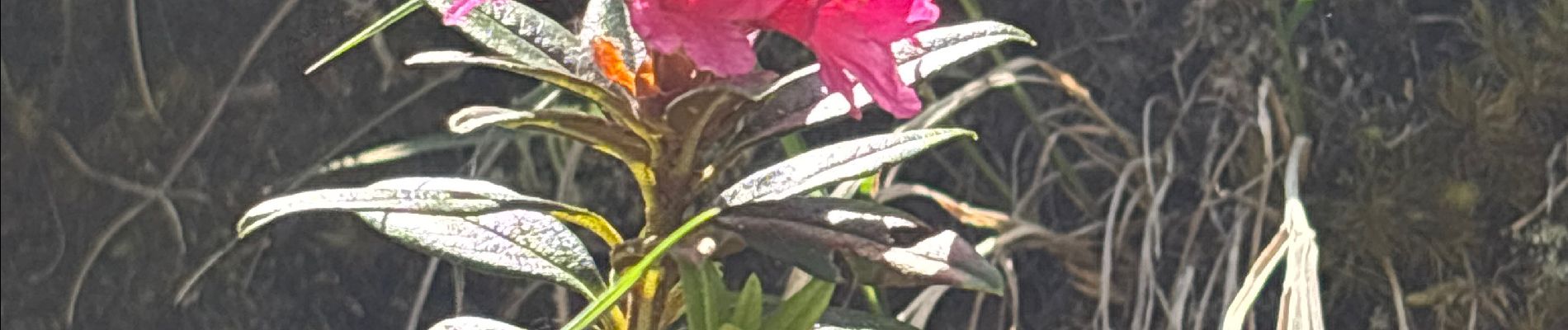
Photos


Positioning
Country:
France
Region :
Auvergne-Rhône-Alpes
Department/Province :
Savoy
Municipality :
Courchevel
Location:
Saint-Bon-Tarentaise
Start:(Dec)
Start:(UTM)
316042 ; 5033301 (32T) N.
Comments