


Les Saisies - chard de beurre

laurentnecca
User
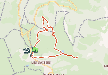

Length
9.3 km

Max alt
1886 m

Uphill gradient
302 m
Km-Effort
13.3 km

Min alt
1655 m

Downhill gradient
305 m
Boucle
Yes
Creation date :
2025-06-20 07:27:26.118
Updated on :
2025-06-20 11:20:01.085
2h39
Difficulty : Easy

FREE GPS app for hiking
 SityTrail
IGN / Geographical institutes
SityTrail Plus
The world is yours!
About
Trail Walking of 9.3 km to be discovered at Auvergne-Rhône-Alpes, Savoy, Hauteluce. This trail is proposed by laurentnecca.
Positioning
Country:
France
Region :
Auvergne-Rhône-Alpes
Department/Province :
Savoy
Municipality :
Hauteluce
Location:
Unknown
Start:(Dec)
Start:(UTM)
308216 ; 5070309 (32T) N.
Comments