


Les Glières- col de l’Ovine

tammari
User
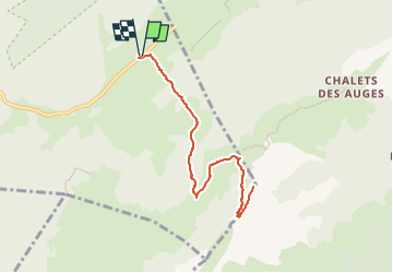

Length
8.7 km

Max alt
1869 m

Uphill gradient
485 m
Km-Effort
15.2 km

Min alt
1410 m

Downhill gradient
484 m
Boucle
Yes
Creation date :
2025-06-23 15:39:01.0
Updated on :
2025-06-23 15:39:02.97

FREE GPS app for hiking
 SityTrail
IGN / Geographical institutes
SityTrail Plus
The world is yours!
About
Trail of 8.7 km to be discovered at Auvergne-Rhône-Alpes, Upper Savoy, Fillière. This trail is proposed by tammari.
Positioning
Country:
France
Region :
Auvergne-Rhône-Alpes
Department/Province :
Upper Savoy
Municipality :
Fillière
Location:
Thorens-Glières
Start:(Dec)
Start:(UTM)
292883 ; 5093453 (32T) N.
Comments