Trail Cycle Arès - de Ares à Sanguinet - Photo

de Ares à Sanguinet

 destras
destras

User

© OpenStreetMap contributors
Length
Length
82 km
Max alt
Max alt
59 m
Uphill gradient
Uphill gradient
593 m
Km-Effort
Km-Effort  
90 km
Min alt
Min alt
0 m
Downhill gradient
Downhill gradient
571 m
Boucle
Boucle
No
Creation date :
2016-03-09 00:00:00.0
Updated on :
2016-03-09 00:00:00.0

(0 Reviews)

Cycle
Cycle
5h08
Difficulty : Easy

Scan this QR Code to open this trail in the SityTrail application

FREE GPS app for hiking

Logo SityTrail SityTrail

IGN / Geographical institutes

Download SityTrail from the App Store Download SityTrail from Google Play

Logo SityTrail SityTrail Plus

The world is yours!

Download SityTrail from the App Store Download SityTrail from Google Play Download SityTrail on Huawei AppGallery

About

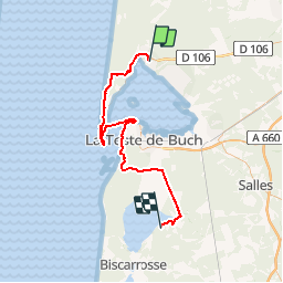
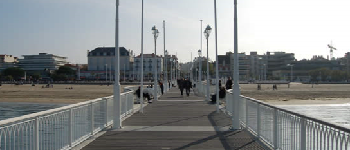
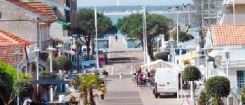
Trail Cycle of 82 km to be discovered at New Aquitaine, Gironde, Arès. This trail is proposed by destras.

Description

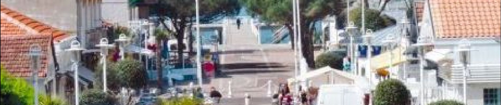
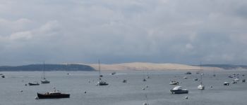
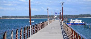
de Ares à Sanguinet en vélo à assistance électrique VAE. Traversée en bateau entre l'embarcadère Belissaire et Arcachon

Elevation profile

Photos

Points of interest

Point of interest Lège-Cap-Ferret - De l'autre coté la dune du Pilat - Photo
destras
Point of interest Lège-Cap-Ferret - Enbarcadère Belissaire - Photo
destras
LÈGE-CAP-FERRET 
Point of interest Arcachon - Embarcadère Arcachon  - Photo
destras
Point of interest Arcachon - Le Mouleau - Photo
destras
ARCACHON 

Positioning

Country:
France
Region :
New Aquitaine
Department/Province :
Gironde
Municipality :
Arès
Location:
Unknown
Start:(UTM)
647601 ; 4959122 (30T) N.


Close
My subscriptions