


mont baigura

funkady
User
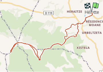

Length
13.1 km

Max alt
887 m

Uphill gradient
681 m
Km-Effort
22 km

Min alt
240 m

Downhill gradient
681 m
Boucle
Yes
Creation date :
2015-07-28 00:00:00.0
Updated on :
2015-07-28 00:00:00.0
2h20
Difficulty : Medium

FREE GPS app for hiking
 SityTrail
IGN / Geographical institutes
SityTrail Plus
The world is yours!
About
Trail Running of 13.1 km to be discovered at New Aquitaine, Pyrénées-Atlantiques, Hélette. This trail is proposed by funkady.


Positioning
Country:
France
Region :
New Aquitaine
Department/Province :
Pyrénées-Atlantiques
Municipality :
Hélette
Location:
Unknown
Start:(Dec)
Start:(UTM)
642392 ; 4796527 (30T) N.
Comments