


Confolens

papajp
User

Length
638 m

Max alt
189 m

Uphill gradient
7 m
Km-Effort
718 m

Min alt
178 m

Downhill gradient
3 m
Boucle
Yes
Creation date :
2025-07-01 14:50:53.0
Updated on :
2025-07-01 15:54:06.787
20m
Difficulty : Unknown

FREE GPS app for hiking
 SityTrail
IGN / Geographical institutes
SityTrail Plus
The world is yours!
About
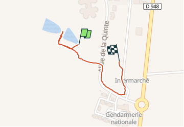
Trail Walking of 638 m to be discovered at New Aquitaine, Charente, Confolens. This trail is proposed by papajp.
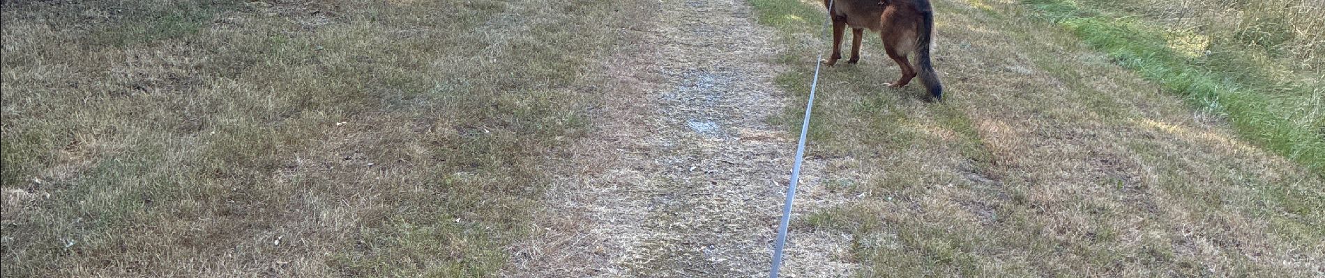
Photos


Positioning
Country:
France
Region :
New Aquitaine
Department/Province :
Charente
Municipality :
Confolens
Location:
Confolens
Start:(Dec)
Start:(UTM)
319645 ; 5096827 (31T) N.
Comments