


itxassou boucle Urzumu Atharri

jaja64
User
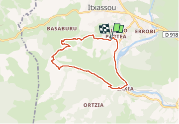

Length
7.4 km

Max alt
350 m

Uphill gradient
326 m
Km-Effort
11.7 km

Min alt
40 m

Downhill gradient
328 m
Boucle
Yes
Creation date :
2025-07-06 06:40:52.0
Updated on :
2025-07-07 10:04:45.865
3h04
Difficulty : Easy

FREE GPS app for hiking
 SityTrail
IGN / Geographical institutes
SityTrail Plus
The world is yours!
About
Trail Walking of 7.4 km to be discovered at New Aquitaine, Pyrénées-Atlantiques, Itxassou. This trail is proposed by jaja64.
Description
marche
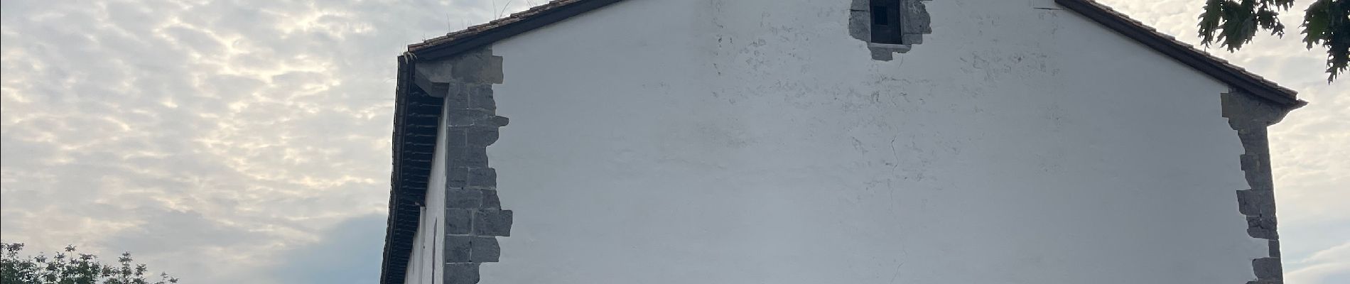
Photos


Positioning
Country:
France
Region :
New Aquitaine
Department/Province :
Pyrénées-Atlantiques
Municipality :
Itxassou
Location:
Unknown
Start:(Dec)
Start:(UTM)
629268 ; 4798171 (30T) N.
Comments