


barrage de Vassivière

michelbarc
User

Length
4.5 km

Max alt
705 m

Uphill gradient
119 m
Km-Effort
6.1 km

Min alt
639 m

Downhill gradient
120 m
Boucle
Yes
Creation date :
2025-07-08 15:40:57.441
Updated on :
2025-07-08 17:18:59.679
1h37
Difficulty : Medium

FREE GPS app for hiking
 SityTrail
IGN / Geographical institutes
SityTrail Plus
The world is yours!
About
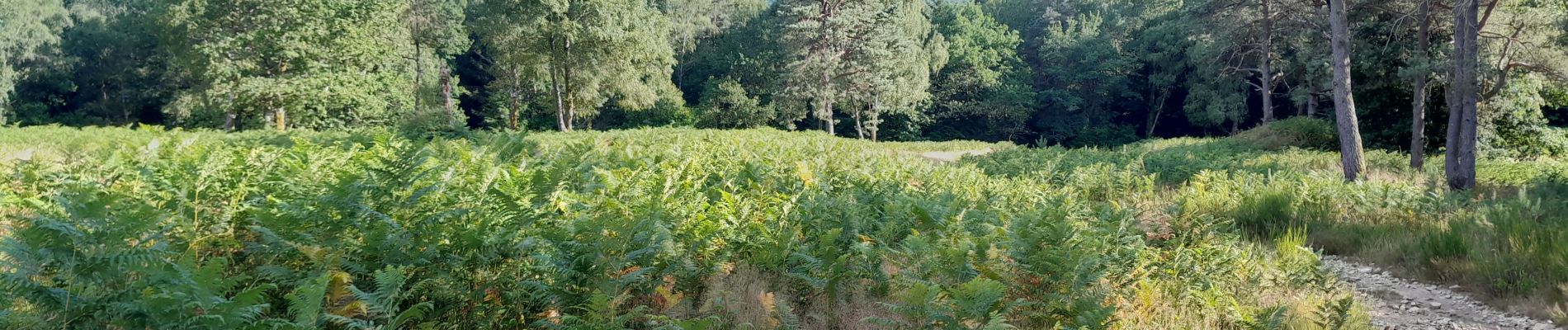
Trail Walking of 4.5 km to be discovered at New Aquitaine, Haute-Vienne, Peyrat-le-Château. This trail is proposed by michelbarc.
Photos


Positioning
Country:
France
Region :
New Aquitaine
Department/Province :
Haute-Vienne
Municipality :
Peyrat-le-Château
Location:
Unknown
Start:(Dec)
Start:(UTM)
410020 ; 5073117 (31T) N.
Comments