


Masgrangeas-Broussas

michelbarc
User

Length
6.2 km

Max alt
672 m

Uphill gradient
71 m
Km-Effort
7.1 km

Min alt
648 m

Downhill gradient
73 m
Boucle
No
Creation date :
2025-07-10 12:32:03.549
Updated on :
2025-07-10 14:30:33.227
1h56
Difficulty : Medium

FREE GPS app for hiking
 SityTrail
IGN / Geographical institutes
SityTrail Plus
The world is yours!
About
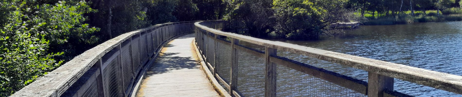
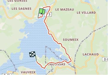
Trail Walking of 6.2 km to be discovered at New Aquitaine, Creuse, Royère-de-Vassivière. This trail is proposed by michelbarc.
Photos


Positioning
Country:
France
Region :
New Aquitaine
Department/Province :
Creuse
Municipality :
Royère-de-Vassivière
Location:
Unknown
Start:(Dec)
Start:(UTM)
414562 ; 5073637 (31T) N.
Comments