


Dent du VIllard 2 285 m

lessablons
User


4h28
Difficulty : Very difficult

FREE GPS app for hiking
 SityTrail
IGN / Geographical institutes
SityTrail Plus
The world is yours!
About
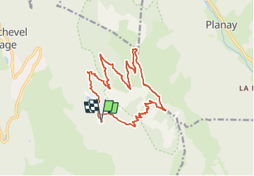
Trail Walking of 9.7 km to be discovered at Auvergne-Rhône-Alpes, Savoy, Courchevel. This trail is proposed by lessablons.
Description
Courchevel Village, centre nautique, virage à G puis à D et de suite prendre à G "Lac de La Rosière".
Sommet, Col de La Chal, prendre à D le sentier en escalier qui rejoint en bas le sentier botanique ...
Positioning
Comments