


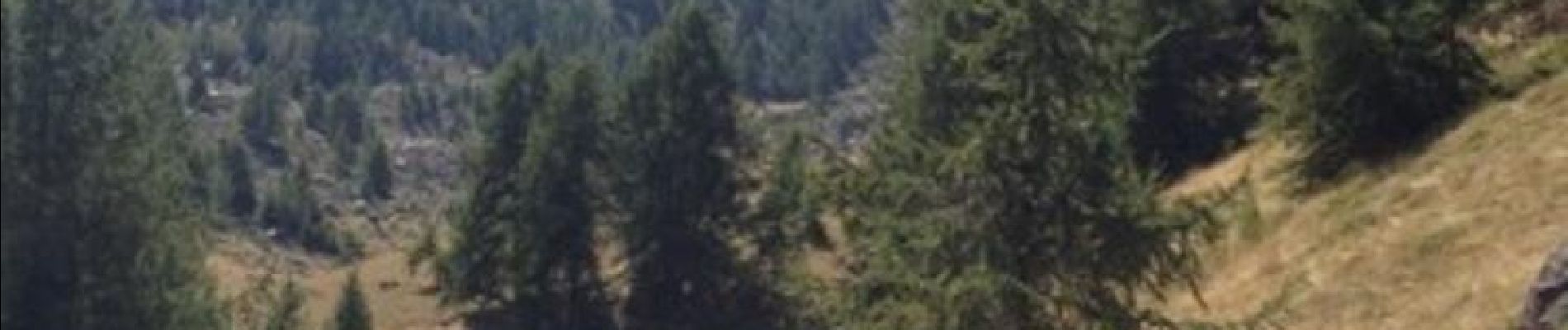
FRESSINIERES - SEYES 16.3KM

jpb83
User
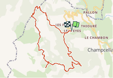

Length
16.3 km

Max alt
2288 m

Uphill gradient
881 m
Km-Effort
28 km

Min alt
1457 m

Downhill gradient
882 m
Boucle
Yes
Creation date :
2016-08-07 00:00:00.0
Updated on :
2016-08-07 00:00:00.0
5h44
Difficulty : Medium

FREE GPS app for hiking
 SityTrail
IGN / Geographical institutes
SityTrail Plus
The world is yours!
About
Trail Walking of 16.3 km to be discovered at Provence-Alpes-Côte d'Azur, Hautes-Alpes, Champcella. This trail is proposed by jpb83.
Photos


23 photos in total. Please click on a photo to see them all in the gallery.
Positioning
Country:
France
Region :
Provence-Alpes-Côte d'Azur
Department/Province :
Hautes-Alpes
Municipality :
Champcella
Location:
Unknown
Start:(Dec)
Start:(UTM)
306457 ; 4955891 (32T) N.
Comments
magnifique randonnée