


Pointe de la Grande Sassière

mpignon
User

Length
11.9 km

Max alt
3725 m

Uphill gradient
1469 m
Km-Effort
31 km

Min alt
2281 m

Downhill gradient
1469 m
Boucle
Yes
Creation date :
2025-07-23 05:04:38.998
Updated on :
2025-07-25 14:35:26.628
7h08
Difficulty : Very difficult

FREE GPS app for hiking
 SityTrail
IGN / Geographical institutes
SityTrail Plus
The world is yours!
About
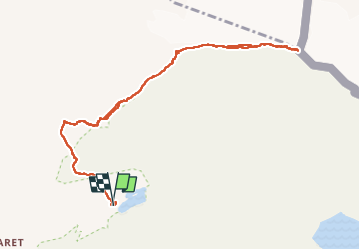
Trail Walking of 11.9 km to be discovered at Auvergne-Rhône-Alpes, Savoy, Tignes. This trail is proposed by mpignon.
Positioning
Country:
France
Region :
Auvergne-Rhône-Alpes
Department/Province :
Savoy
Municipality :
Tignes
Location:
Unknown
Start:(Dec)
Start:(UTM)
341198 ; 5038991 (32T) N.
Comments