


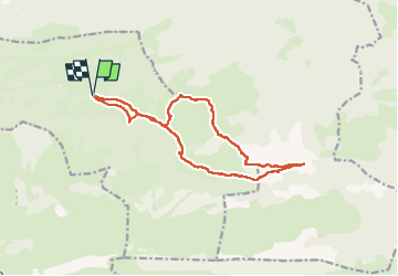
Pic de Durban

chasle
User

Length
15.5 km

Max alt
1689 m

Uphill gradient
917 m
Km-Effort
28 km

Min alt
870 m

Downhill gradient
916 m
Boucle
Yes
Creation date :
2025-07-31 06:32:24.172
Updated on :
2025-07-31 17:46:05.095
6h18
Difficulty : Difficult

FREE GPS app for hiking
 SityTrail
IGN / Geographical institutes
SityTrail Plus
The world is yours!
About
Trail Walking of 15.5 km to be discovered at New Aquitaine, Pyrénées-Atlantiques, Castet. This trail is proposed by chasle.
Positioning
Country:
France
Region :
New Aquitaine
Department/Province :
Pyrénées-Atlantiques
Municipality :
Castet
Location:
Unknown
Start:(Dec)
Start:(UTM)
713329 ; 4771173 (30T) N.
Comments