


tami de nuria

francislassauce
User

Length
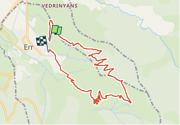
11.5 km

Max alt
1970 m

Uphill gradient
576 m
Km-Effort
19.2 km

Min alt
1406 m

Downhill gradient
581 m
Boucle
No
Creation date :
2025-08-05 08:50:10.763
Updated on :
2025-08-05 13:04:23.292
3h00
Difficulty : Very difficult

FREE GPS app for hiking
 SityTrail
IGN / Geographical institutes
SityTrail Plus
The world is yours!
About
Trail Walking of 11.5 km to be discovered at Occitania, Pyrénées-Orientales, Err. This trail is proposed by francislassauce.
Description
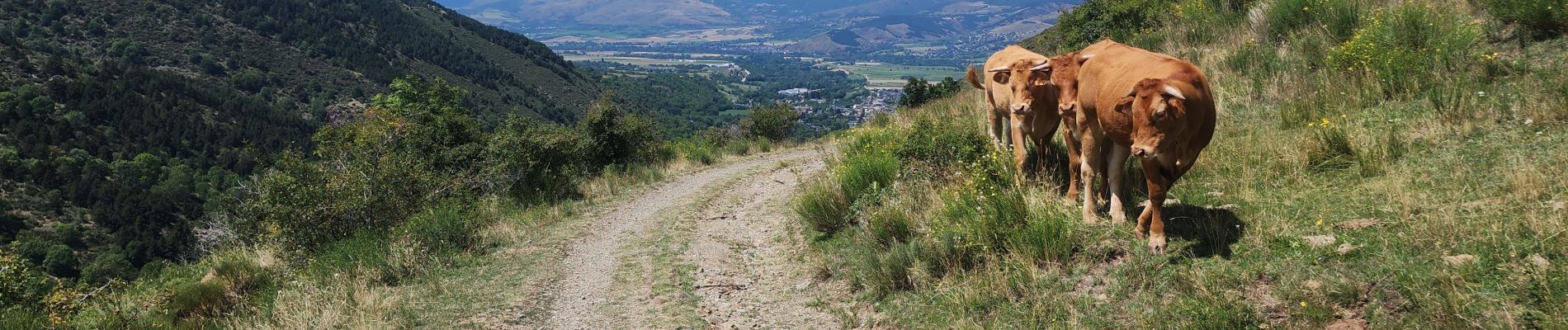
il vaut mieux le faire dans ce sens là, sinon la descente serait périlleuse.
dans ce sens là descente est agréable avec une jolie vue
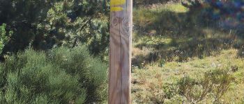
Photos


Positioning
Country:
France
Region :
Occitania
Department/Province :
Pyrénées-Orientales
Municipality :
Err
Location:
Unknown
Start:(Dec)
Start:(UTM)
421065 ; 4699321 (31T) N.
Comments