


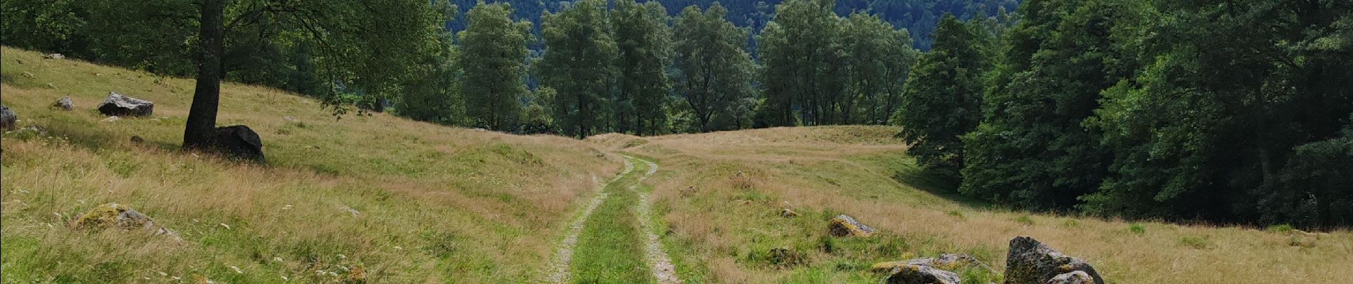
lac de schiessrothried par vallée de la wormsa

fbienmuller
User
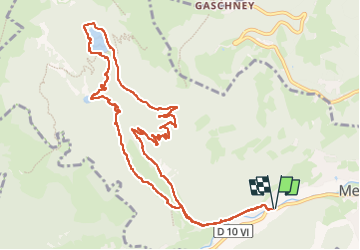

Length
12.7 km

Max alt
967 m

Uphill gradient
513 m
Km-Effort
19.6 km

Min alt
491 m

Downhill gradient
513 m
Boucle
Yes
Creation date :
2025-08-06 07:54:19.348
Updated on :
2025-08-06 12:07:25.515
3h47
Difficulty : Medium

FREE GPS app for hiking
 SityTrail
IGN / Geographical institutes
SityTrail Plus
The world is yours!
About
Trail Walking of 12.7 km to be discovered at Grand Est, Haut-Rhin, Metzeral. This trail is proposed by fbienmuller.
Photos


35 photos in total. Please click on a photo to see them all in the gallery.
Positioning
Country:
France
Region :
Grand Est
Department/Province :
Haut-Rhin
Municipality :
Metzeral
Location:
Unknown
Start:(Dec)
Start:(UTM)
354970 ; 5319338 (32U) N.
Comments