


val st Hélène

JPS73
User
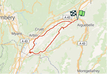

Length
52 km

Max alt
491 m

Uphill gradient
693 m
Km-Effort
62 km

Min alt
256 m

Downhill gradient
693 m
Boucle
Yes
Creation date :
2025-08-07 07:17:07.057
Updated on :
2025-08-07 12:00:25.176
2h51
Difficulty : Very difficult

FREE GPS app for hiking
 SityTrail
IGN / Geographical institutes
SityTrail Plus
The world is yours!
About
Trail Mountain bike of 52 km to be discovered at Auvergne-Rhône-Alpes, Savoy, Bourgneuf. This trail is proposed by JPS73.
Positioning
Country:
France
Region :
Auvergne-Rhône-Alpes
Department/Province :
Savoy
Municipality :
Bourgneuf
Location:
Unknown
Start:(Dec)
Start:(UTM)
286888 ; 5048433 (32T) N.
Comments