


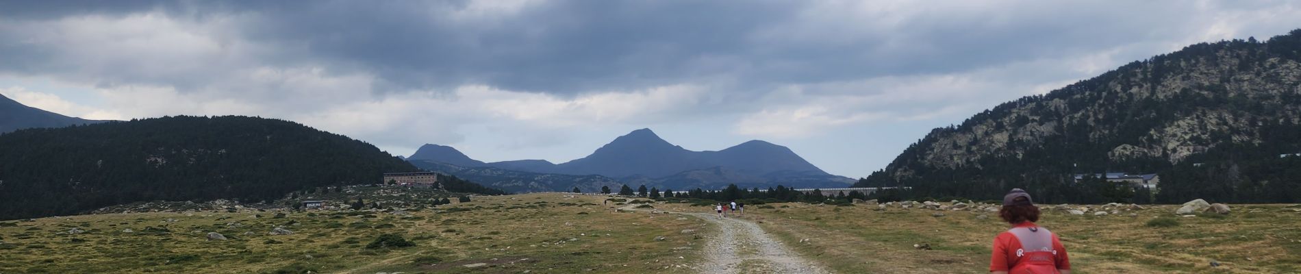
lacs des bouillouses

francislassauce
User
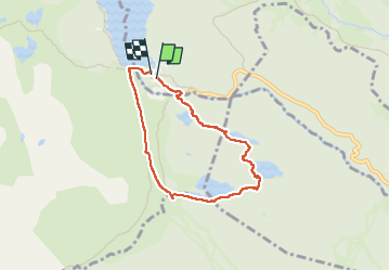

Length
6.4 km

Max alt
2041 m

Uphill gradient
159 m
Km-Effort
8.5 km

Min alt
1943 m

Downhill gradient
153 m
Boucle
Yes
Creation date :
2025-08-07 13:12:30.005
Updated on :
2025-08-07 15:43:02.26
1h53
Difficulty : Medium

FREE GPS app for hiking
 SityTrail
IGN / Geographical institutes
SityTrail Plus
The world is yours!
About
Trail Walking of 6.4 km to be discovered at Occitania, Pyrénées-Orientales, Les Angles. This trail is proposed by francislassauce.
Description
passages très techniques le long des 2 1er lacs, franchissement de gros rochers.
Photos


Positioning
Country:
France
Region :
Occitania
Department/Province :
Pyrénées-Orientales
Municipality :
Les Angles
Location:
Unknown
Start:(Dec)
Start:(UTM)
418224 ; 4712288 (31T) N.
Comments