


st laurent

jcpinon
User
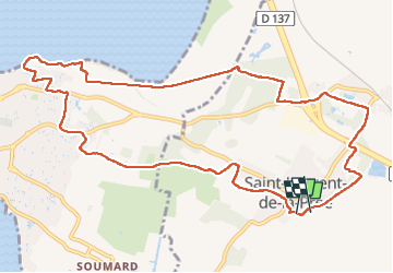

Length
12.8 km

Max alt
21 m

Uphill gradient
78 m
Km-Effort
13.8 km

Min alt
0 m

Downhill gradient
80 m
Boucle
Yes
Creation date :
2025-08-10 16:47:46.353
Updated on :
2025-08-10 21:12:57.004
2h54
Difficulty : Easy

FREE GPS app for hiking
 SityTrail
IGN / Geographical institutes
SityTrail Plus
The world is yours!
About
Trail Walking of 12.8 km to be discovered at New Aquitaine, Charente-Maritime, Saint-Laurent-de-la-Prée. This trail is proposed by jcpinon.
Positioning
Country:
France
Region :
New Aquitaine
Department/Province :
Charente-Maritime
Municipality :
Saint-Laurent-de-la-Prée
Location:
Unknown
Start:(Dec)
Start:(UTM)
651829 ; 5093655 (30T) N.
Comments