


Err, sentier de Nahura

francislassauce
User
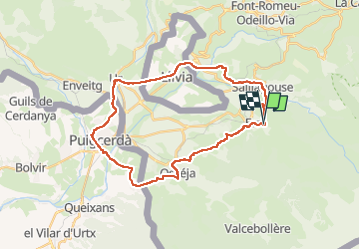

Length
32 km

Max alt
1425 m

Uphill gradient
600 m
Km-Effort
40 km

Min alt
1123 m

Downhill gradient
593 m
Boucle
Yes
Creation date :
2025-08-14 09:39:00.447
Updated on :
2025-08-14 12:15:53.534
2h28
Difficulty : Medium

FREE GPS app for hiking
 SityTrail
IGN / Geographical institutes
SityTrail Plus
The world is yours!
About
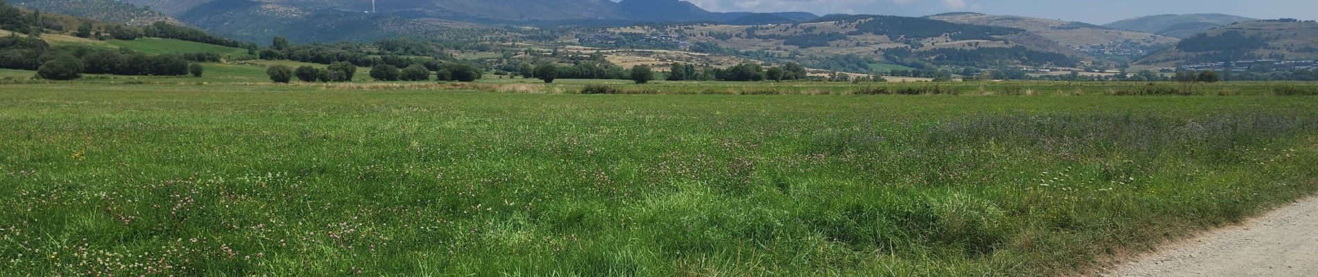
Trail Mountain bike of 32 km to be discovered at Occitania, Pyrénées-Orientales, Err. This trail is proposed by francislassauce.
Photos

Positioning
Country:
France
Region :
Occitania
Department/Province :
Pyrénées-Orientales
Municipality :
Err
Location:
Unknown
Start:(Dec)
Start:(UTM)
421041 ; 4699013 (31T) N.
Comments