


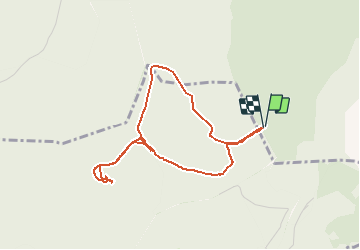

15.5 km | 22 km-effort


User


FREE GPS app for hiking
 SityTrail
IGN / Geographical institutes
SityTrail World
The world is yours!
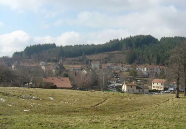
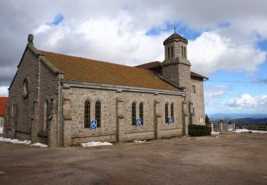
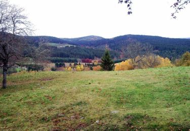
Trail Walking of 4.1 km to be discovered at Auvergne-Rhône-Alpes, Puy-de-Dôme, Viscomtat. This trail is proposed by 1stef1.
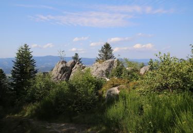
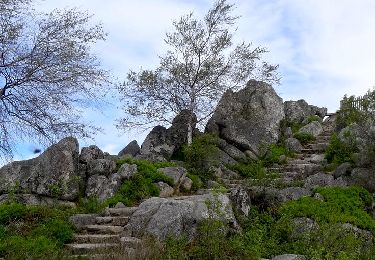
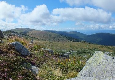
Petite promenade autour du site panoramique à 360° avec table d'orientation (prévoir chaussures adéquates chemin pierreux sur le retour du parcours)
On foot
Walking
Walking

Walking
Walking
Walking
Cycle
Mountain bike
Mountain bike