


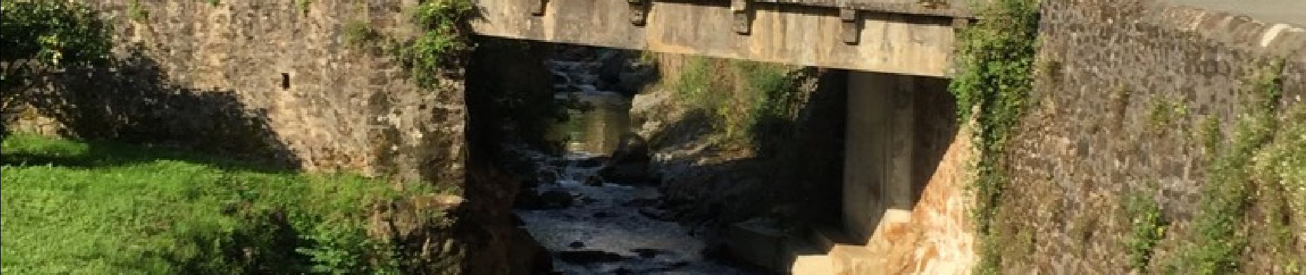
itxassou et Pas de Roland

RVMASSON
User
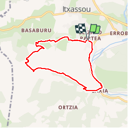

Length
7.5 km

Max alt
350 m

Uphill gradient
320 m
Km-Effort
11.7 km

Min alt
40 m

Downhill gradient
316 m
Boucle
Yes
Creation date :
2015-08-12 00:00:00.0
Updated on :
2015-08-12 00:00:00.0
2h07
Difficulty : Easy

FREE GPS app for hiking
 SityTrail
IGN / Geographical institutes
SityTrail Plus
The world is yours!
About
Trail Walking of 7.5 km to be discovered at New Aquitaine, Pyrénées-Atlantiques, Itxassou. This trail is proposed by RVMASSON.
Description
Départ de la ville et on longe la Nive. Après une belle montée redescente en pente douce.
Photos


Positioning
Country:
France
Region :
New Aquitaine
Department/Province :
Pyrénées-Atlantiques
Municipality :
Itxassou
Location:
Unknown
Start:(Dec)
Start:(UTM)
629309 ; 4798200 (30T) N.
Comments
Merci pour cette trace
Belle prima de