


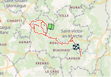


12.4 km | 15.1 km-effort

User


FREE GPS app for hiking
 SityTrail
IGN / Geographical institutes
SityTrail World
The world is yours!
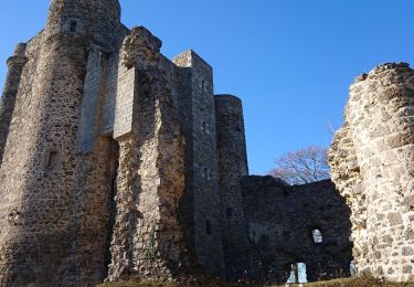
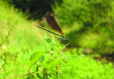
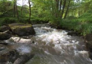
Trail Other activity of 17.9 km to be discovered at New Aquitaine, Creuse, Saint-Victor-en-Marche. This trail is proposed by rgentet.


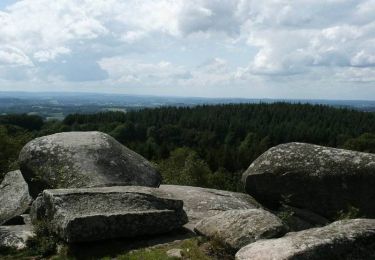
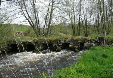
50 photos in total. Please click on a photo to see them all in the gallery.

Walking

Nordic walking
Walking
Walking

Walking
Nordic walking
Mountain bike
Mountain bike

Mountain bike