


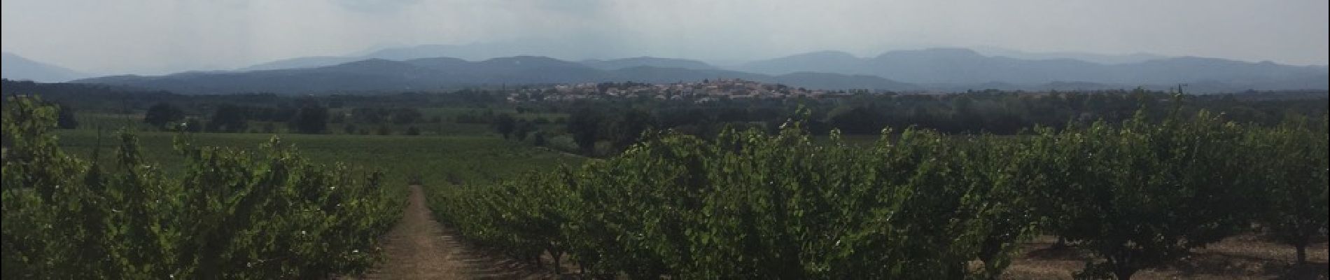
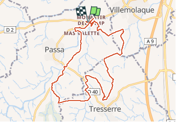
66 VILLEMOLAQUE - TRESSERRE - PASSA

jeff66
User


1h50
Difficulty : Medium

FREE GPS app for hiking
 SityTrail
IGN / Geographical institutes
SityTrail Plus
The world is yours!
About
Trail Walking of 11.4 km to be discovered at Occitania, Pyrénées-Orientales, Passa. This trail is proposed by jeff66.
Description
66 VILLEMOLAQUE - El Monastir del Camp - La Pedra BLanca - Correc d'en Ceso - Mas Mulès - Les Terres Blanques - Coll de Rossa - TRESSERRE - Serrat d'en Calcina - Cami del Monastir - La plana - Els Fontanals - Garriga de les Pedres - Mas Valent - Les Costes - Els Gorgs - PASSA -La Fonvella - Els Plans - mas Valette
Photos


Positioning
Comments