


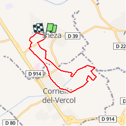
66 THEZA - CORNEILLA-DEL-VERCOL

jeff66
User


1h08
Difficulty : Easy

FREE GPS app for hiking
 SityTrail
IGN / Geographical institutes
SityTrail Plus
The world is yours!
About
Trail Walking of 7 km to be discovered at Occitania, Pyrénées-Orientales, Théza. This trail is proposed by jeff66.
Description
66 THEZA - route de Perpignan - la podadora - voie douce - mas Nicolau - Els Cotius - CORNEILLA-DEL-VERCOL - l'Era - chapelle du paradis - l'agouille de la Mar - la Finquita - ch. d'hôtes les jardins de Corneilla - pont de les arenes - route de St-Cyprien - cimetîere - aller Paul Claudel - maison de la jeunesse et des loisirs - meublé mas de l'aire (l'Era) - clinique du Pré - THEZA - Els Cotius - la Travessa - la Podadora - lot. Quinze Olius - rue du pic de l'Orry - route de Villeneuve
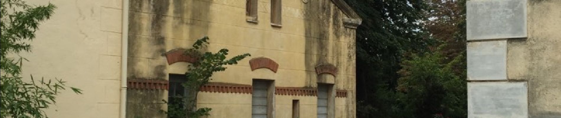
Photos


Positioning
Comments
Très facile. Aucune difficulté