


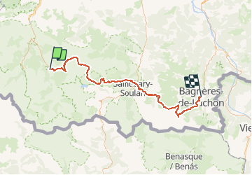

9.1 km | 18.9 km-effort


User


FREE GPS app for hiking
 SityTrail
IGN / Geographical institutes
SityTrail World
The world is yours!
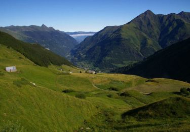
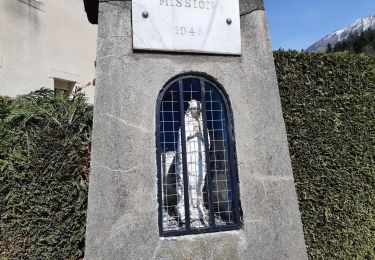
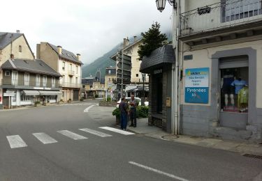
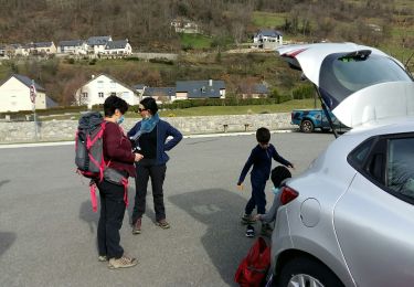
Trail Walking of 85 km to be discovered at Occitania, Hautespyrenees, Luz-Saint-Sauveur. This trail is proposed by mrcookie.

Walking

Walking
Walking

On foot

Walking

Walking
On foot
On foot
Walking
very good charts. whish i could get info about sleeping places off-line. eg phone numbers