


5.6 km | 8.8 km-effort


User


FREE GPS app for hiking
 SityTrail
IGN / Geographical institutes
SityTrail World
The world is yours!
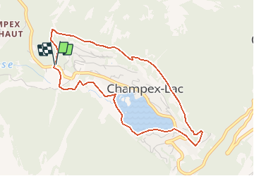
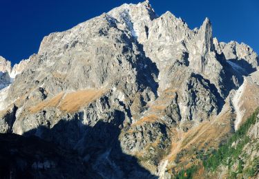
Trail Snowshoes of 4.5 km to be discovered at Valais/Wallis, Entremont, Orsières. This trail is proposed by verbier.
Le sentier démare près de l''hôtel Belvédère ( parquer votre voiture sur la place des forts). Prendre la route en face de l''hôtel Belvédère sure le "sentier Emile Lovey". Il passe au dessus de la station puis redescend ves les installations de ski et continue direction le Lac jusqu''au garage et remonte ensuite au point de départ.
Ce parcours se réfère aux panneaux N°1.
On foot
On foot

On foot
On foot
On foot
Walking
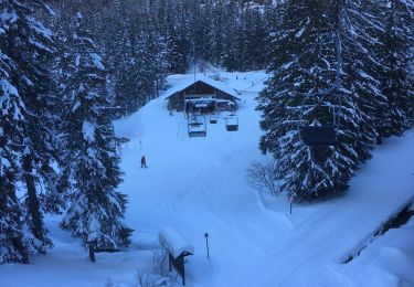
Snowshoes

Walking

Walking