


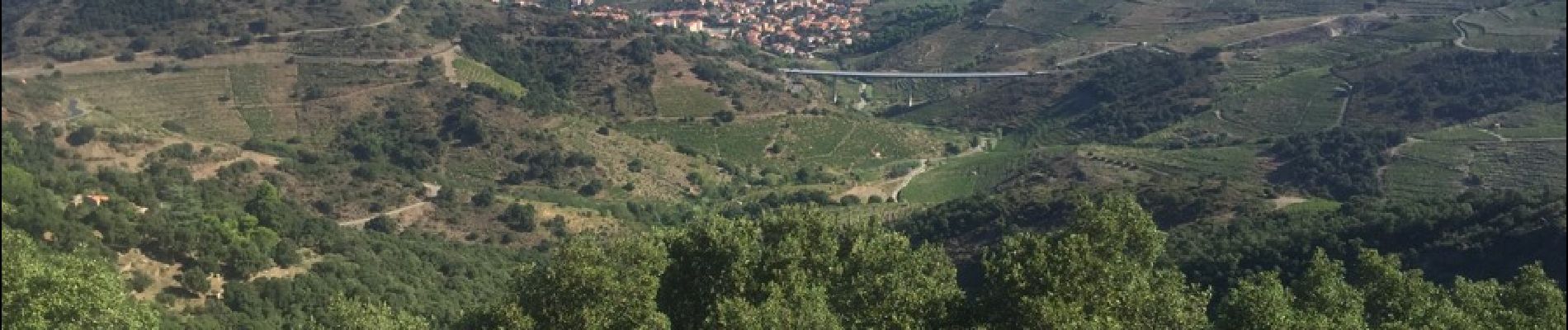
66 COLLIOURE - les balcons de Madeloc - circuit de la tour et des fortifications

jeff66
User


2h04
Difficulty : Difficult

FREE GPS app for hiking
 SityTrail
IGN / Geographical institutes
SityTrail Plus
The world is yours!
About
Trail Walking of 9.3 km to be discovered at Occitania, Pyrénées-Orientales, Collioure. This trail is proposed by jeff66.
Description
66 COLLIOURE - col de la serre - batterie Taillefer - tour de la Madeloc - batterie des 300 - GR10 - cols des gascons, del Fornigo, de Vallauria en passant par la Tina d'en Reig - (circuit court, dans ce sens montée vers la tour Madeloc moins raide)
Photos


33 photos in total. Please click on a photo to see them all in the gallery.
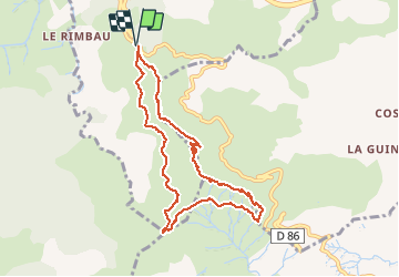
Positioning
Comments
Très belle randonnée. Magnifique balcon sur la grand bleue et les Alberes.Pas de difficulté particulière.