


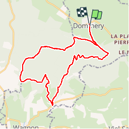

33 km | 41 km-effort


User


FREE GPS app for hiking
 SityTrail
IGN / Geographical institutes
SityTrail World
The world is yours!
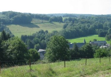
Trail Walking of 18.2 km to be discovered at Grand Est, Ardennes, Dommery. This trail is proposed by pacal08.

Mountain bike
Mountain bike

Cycle
Walking
Walking


Walking

Road bike
Walking
super rando pour l'avoir faite avec pacal