


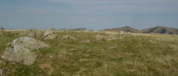
Occabé depuis le col d'Irau, par la crête d'Urculu

DECHAMPD
User
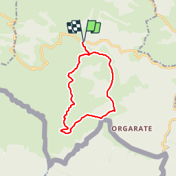

Length
12.4 km

Max alt
1380 m

Uphill gradient
686 m
Km-Effort
22 km

Min alt
924 m

Downhill gradient
689 m
Boucle
Yes
Creation date :
2019-01-14 17:33:54.321
Updated on :
2024-09-18 09:47:22.52
4h54
Difficulty : Very difficult

FREE GPS app for hiking
 SityTrail
IGN / Geographical institutes
SityTrail Plus
The world is yours!
About
Trail Walking of 12.4 km to be discovered at New Aquitaine, Pyrénées-Atlantiques, Lecumberry. This trail is proposed by DECHAMPD.
Description
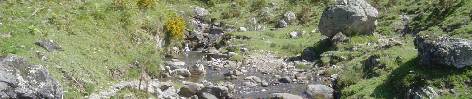
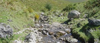
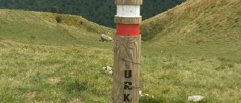
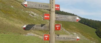
depuis le col d'Irau par la crête d'URCULU, le col Curutche, le col d'Oraaté et le site d'Occabé. parcours du 09/09/2015.
Photos


Positioning
Country:
France
Region :
New Aquitaine
Department/Province :
Pyrénées-Atlantiques
Municipality :
Lecumberry
Location:
Unknown
Start:(Dec)
Start:(UTM)
652737 ; 4768365 (30T) N.
Comments