


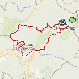

18.8 km | 26 km-effort

User


FREE GPS app for hiking
 SityTrail
IGN / Geographical institutes
SityTrail World
The world is yours!
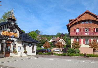
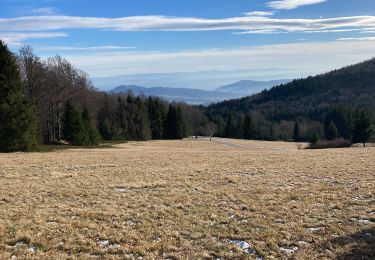
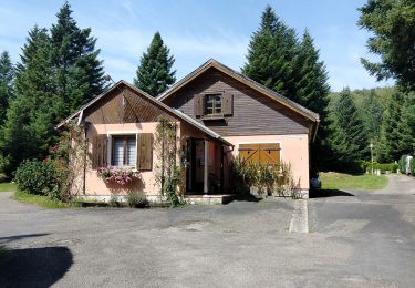
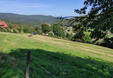
Trail Walking of 18 km to be discovered at Grand Est, Bas-Rhin, Le Hohwald. This trail is proposed by dragonfr67.
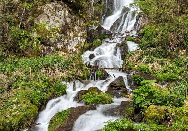
Cascade source du Landlau champ du feu chaume des veaux tarte myrtilles

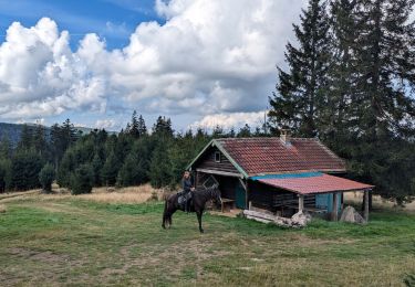
Horseback riding
Walking

Walking

Walking
Walking
Walking
On foot
Walking
Walking