Trail Walking Montmaur - 
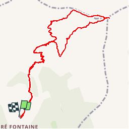
Pic de Bure par Pré la Pare - Photo
© OpenStreetMap contributors
Length
Length
13.8 km
Max alt
Max alt
2696 m
Uphill gradient
Uphill gradient
1338 m
Km-Effort
Km-Effort  
32 km
Min alt
Min alt
1366 m
Downhill gradient
Downhill gradient
1349 m
Boucle
Boucle
Yes
Creation date :
2015-09-27 00:00:00.0
Updated on :
2015-09-27 00:00:00.0

(0 Reviews)

Walking
Walking
6h20
Difficulty : Difficult

Scan this QR Code to open this trail in the SityTrail application

FREE GPS app for hiking

Logo SityTrail SityTrail

IGN / Geographical institutes

Download SityTrail from the App Store Download SityTrail from Google Play

Logo SityTrail SityTrail Plus

The world is yours!

Download SityTrail from the App Store Download SityTrail from Google Play Download SityTrail on Huawei AppGallery

About

Trail Walking of 13.8 km to be discovered at Provence-Alpes-Côte d'Azur, Hautes-Alpes, Montmaur. This trail is proposed by Dervalmarc.

Description

Randonnée très sportive à n'entreprendre que par beau temps . Plusieurs passages délicat n'ecessitant l'usage des mains,cotation t3 voir t4 sur la crête avant la sortie sur le plateau de Bure . Début des difficultés dès l'intersection pour rejoindre le vallon de Pré la Pare. Nombreux passages en dévers.
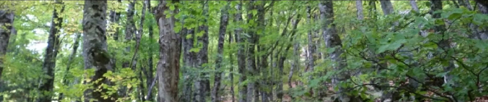
Elevation profile

Photos

Positioning

Country:
France
Region :
Provence-Alpes-Côte d'Azur
Department/Province :
Hautes-Alpes
Municipality :
Montmaur
Location:
Unknown
Start:(UTM)
730473 ; 4942931 (31T) N.


Close
My subscriptions